The White River
An overview
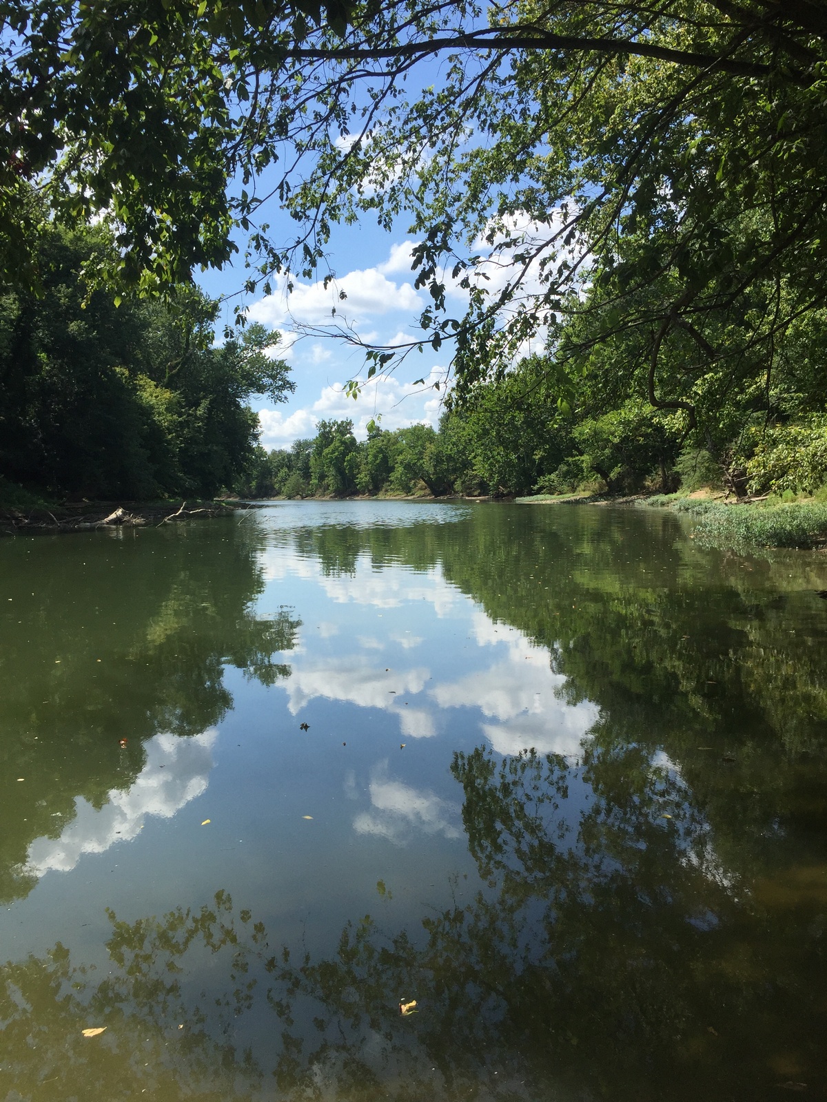
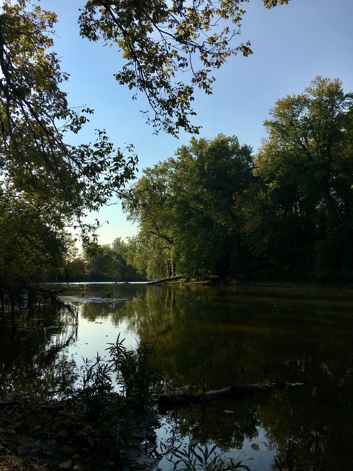
The White River is the primary drinking water source for the Indianapolis area. Once maligned as an open sewer and mobile dumping ground for Indianapolis’s pork industry in the early 20th century, it has much higher water quality now.
About the forest
True or False?
The White River watershed is the second-largest watershed located entirely within the state of Indiana.
False! The White River watershed is the largest watershed contained entirely within Indiana, extending from Randolph County all the way down to Gibson County, passing through 42 counties and exceeding 11,305 square miles in total.
The White River watershed is part of which watershed?
- Wabash River
- Ohio River
- Wapahani River
- All of the above
All of the above. The White River watershed is a part of the Wabash River watershed, and both are a part of the Ohio River watershed. Wapahani, meaning “white sands,” is one of the names given to what we now know as the White River by the Lenape (Delaware) Tribe.
The White River is the primary drinking water source for Indianapolis. Once maligned as an open sewer and mobile dumping ground for Indianapolis’s pork industry in the early 20th century, it has much higher water quality now. The Clean Water Act of 1972 addressed many practices that were detrimental to the health of rivers across the nation in addition to providing the framework for the regulation of aquatic pollutants. From improved farming and agricultural practices, to targeted efforts to reduce erosion, the quality of the White River continues to improve every day.
Check out our events calendar to see how you can help.
For more ways to protect the health of this watershed, take a Clear Choices Clean Water pledge or several. Clear Choices Clean Water is a program of our partner organization, the White River Alliance.
CLEAN WATER ACT OF 1972 “The Federal Water Pollution Control Act of 1948 was the first major U.S. law to address water pollution. Growing public awareness and concern for controlling water pollution led to sweeping amendments in 1972. As amended in 1972, the law became commonly known as the Clean Water Act (CWA).” (More at https://www.epa.gov/laws-regulations/history-clean-water-act.)
Email Signup
Be the first to know about special events and exciting land protection developments. Sign up for our e-newsletter below.
Additional Questions?
Our Land Protection Director can give you more information about the various ways CILTI works with landowners.


